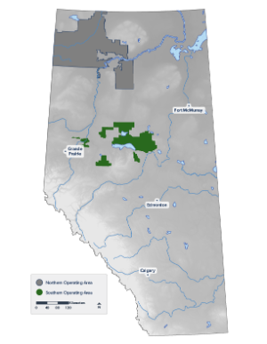
Reporting Area and Landscape Context
Description of Tolko's Southern Operating Area, including a summary of the ecosystem and wetland types that compose this landscape.

Tolko’s Southern Operating Area covers about 2.1% of Alberta’s land area.
Natural Disturbance
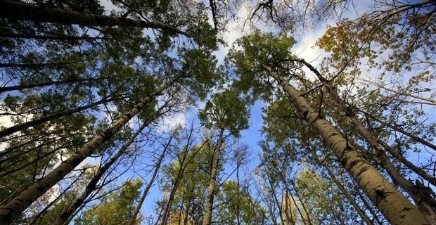
Ecosystem type
Wetlands
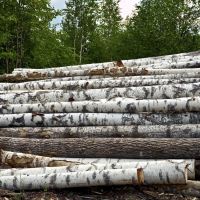
Harvesting
Introduction
Tolko’s Southern Operating Area covers 13,890 km2 of north-central Alberta. This operating area is located within two of Alberta’s six natural regions—the Boreal Forest and Foothills natural regions—and is characterized by:
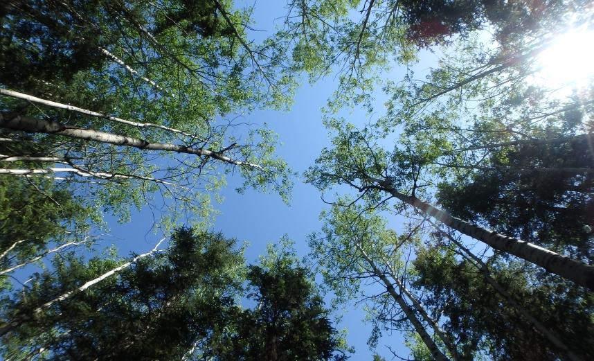
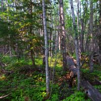
- Vast forested areas of coniferous, mixedwood, and deciduous forests that support a wide range of plants and animals.
- Rolling plateaus and a high diversity of forest types and animal species.
- Proximity to larger urban areas, frequently visited protected areas, and travel corridors.
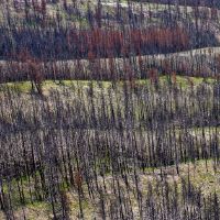
- A natural disturbance regime that is dominated by wildfire, with insects and diseases also playing important roles[1].
- Socially and economically valued activities including hunting, fishing, trapping, and other recreational pursuits.
Southern Operating Area
Click on a topic to find out more about Tolko’s Southern Operating Area:
Area of Analysis
Area of Analysis
This report describes the status of land cover and biodiversity in Tolko’s Southern Operating Area.
- The Southern Operating Area covers approximately 13,890 km2 of north-central Alberta, representing 25% of Tolko’s total operating area in Alberta.
- Tolko shares management of this land base with West Fraser Mills Ltd. and Vanderwell Contractors (1971) Ltd.
- In this region, Tolko predominately harvests deciduous species (Trembling Aspen, Balsam Poplar). Incidental harvest of coniferous trees is passed along to other permit holders.
- The Southern Operating Area comprises a number of small, disjointed areas surrounded by White Area, making management more difficult.
Southern Operating Area
Ecosystems
Ecosystems
Tolko’s Southern Operating Area overlaps a diversity of ecosystem types in north central Alberta, found within two natural regions.
- The Boreal Forest Natural Region covers 76.7% of the Southern Operating Area, and includes the Central Mixedwood (71.0%) and Dry Mixedwood (5.7%) Natural Subregions.
- The Foothills Natural Region covers the remaining 23.3% of the Southern Operating Area. The Lower Foothills Natural Subregion accounts for almost all of this area, while the Upper Foothills Natural Subregion covers less than 1% of the Southern Operating Area.
Tolko’s Southern Operating Area contains 7.2% of Alberta’s Lower Foothills Natural Subregion, which represents almost a quarter of the operating area. The Lower Foothills Natural Subregion is a climatic transition zone between the Upper Foothills Natural Subregion and the Boreal Forest Natural Region, and has the most diverse tree cover in Alberta. This subregion is underrepresented in protected areas (federal and provincial parks and protected areas), with only 0.8% protected, making responsibility for this subregion higher.
| Southern Operating Area | Alberta | |||
|---|---|---|---|---|
| Natural Region | Natural Subregion | Area (km2) | Area (%) | % Managed as Protected Area |
| Boreal Forest | Central Mixedwood | 9,867 | 71.0 | 13.6 |
| Dry Mixedwood | 791 | 5.7 | 1.6 | |
| Foothills | Lower Foothills | 3,226 | 23.2 | 0.8 |
| Upper Foothills | 6 | <0.5 | 2.8 | |
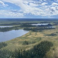
Wetlands
Wetlands
Wetlands are an integral part of the landscape and provide a number of important benefits.
Ecologically intact wetlands, and their associated biodiversity, act as a catalyst for the physical, chemical, and biological processes that:
- provide clean water;
- mitigate flood and drought events;
- recharge ground and surface water;
- capture and store carbon;
- recycle nutrients;
- support a high level of primary productivity; and,
- provide critical wildlife habitat.
Wetlands add habitat complexity at local and regional scales through the creation of micro-habitats, edge effects, and localized microclimates which support a high level of biodiversity, both in the wetland and the surrounding landscape.
Wetlands are common in the Southern Operating Area, covering 25.9% of the land base.
- Fen (also known as muskeg) is the most common wetland class, covering 13.0% of the Southern Operating Area, followed by swamp (5.9%) and open water (4.9%) wetland classes. Bog and marsh classes each cover <1.5% of the area.
- Ecologically significant wetlands in this area include sizeable Important Bird Areas (around Lesser Slave Lake, Utikuma and Utikumasis lakes, and Frank Lake), several water bodies/watercourses of importance to Trumpeter Swan, and several water bodies of importance to colonial nesting birds such as American White Pelican, Double-crested Cormorant, and Great Blue Heron.
| Wetland Class | Area (km2) | % area |
|---|---|---|
| Bog | 168 | 1.2 |
| Fen | 1,808 | 13.0 |
| Marsh | 138 | 1.0 |
| Open water | 673 | 4.9 |
| Swamp | 813 | 5.9 |
| All Wetlands Combined | 3,601 | 25.9 |
References
Tolko Industries Ltd., Vanderwell Contractors (1971) Ltd., and West Fraser Mills Ltd. 2021. Lesser Slave Lake regional forest management plan. Prepared by FORCORP Solutions Inc.
