Conclusion
Summary of the main results on the status of land cover and biodiversity in Tolko's Southern Operating Area.

This report outlines the status of land cover, species, and habitat within Tolko's Southern Operating Area, providing baseline conditions for key indicators to assess long-term forest health.
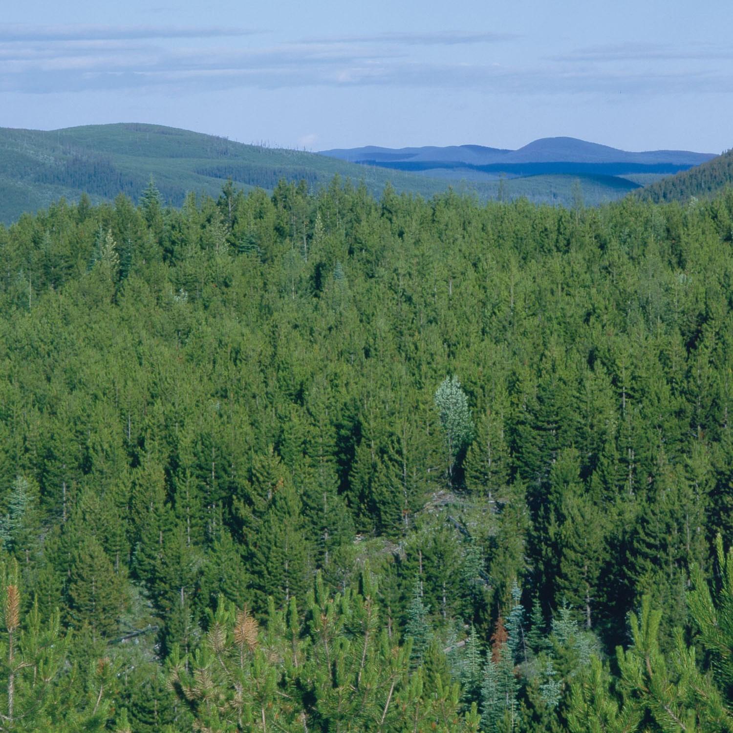
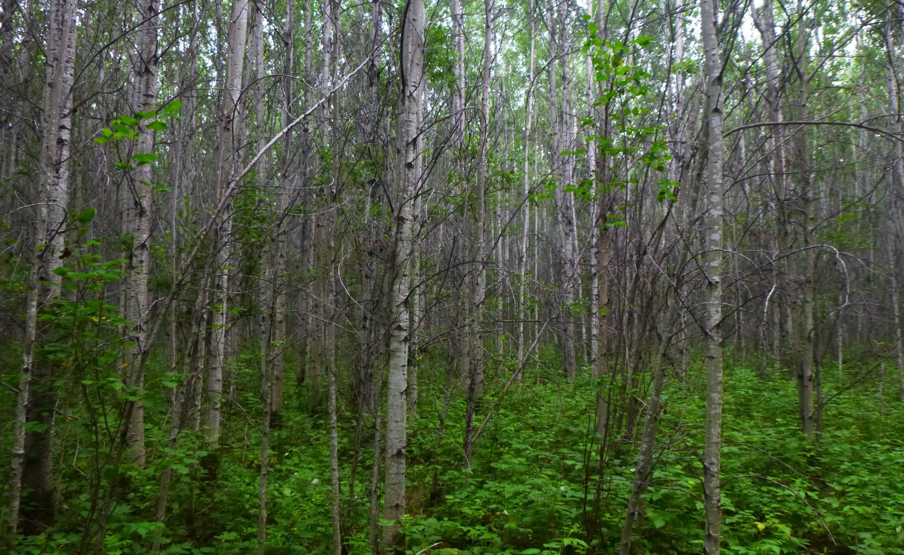
Tolko’s Southern Operating Area spans 13,890 km2 in north-central Alberta, where deciduous trees are harvested. Responsible forest management requires a clear understanding of how forestry operations affect land cover and biodiversity, and monitoring can help identify areas for improvement.
Status of Land Cover
Summary of Land Cover Results
Highlights of land cover results include:
- As of 2021, the total human footprint was 17.7% in the Southern Operating Areas. Forestry (13.8%) was the predominant land use but this percentage dropped to 9.4% when regeneration of harvested stands was accounted for. Total human footprint increased by 8.0 percentage points between 2000 and 2021; these increases were driven by the creation of forestry footprint. The vegetation types most impacted by human footprint were deciduous (-2.9%) and mixedwood stands (-2.5%) during this time period.
- While human footprint is the main contributor to land base change in the Southern Operating Area, fire added 4–6% of disturbance in upland stands between 2010 and 2021.
- Wildfires in 2023 burned 8.8% of the Southern Operating Area, with burn rates 5–10 times the combined human footprint and fire rate from 2010–2021. Burn rates were high across all vegetation types, lowering the average age from 76 years in 2021 to 70 years in 2023.
- Undisturbed native habitat covered 82.3% of the Southern Operating Area in 2021, a drop of 6.5 percentage points from 2010. Interior native habitat was 63.4%, 31.4%, and 4.2% at 50 m, 200 m and 500 m away from human footprint respectively.
- Linear footprint density (circa 2021) was estimated to be 3.3 km/km2 in the Southern Operating Area; conventional seismic lines at 2.6 km/km2 were the predominant linear feature.
In the Southern Operating Area...
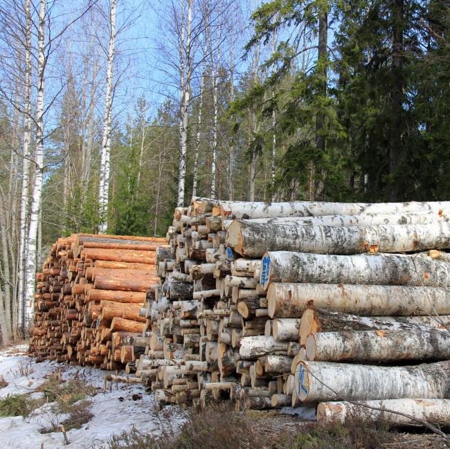
...forestry footprint covers 13.8%...
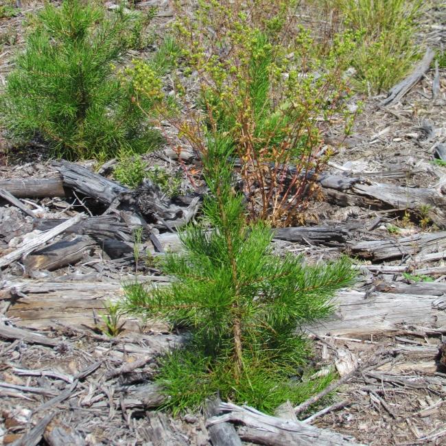
...regenerating harvested stands reduce forestry footprint to 9.4%...
...interior native habitat at least 200 m away from human footprint is 31.4%.
Status of Biodiversity
Summary of Biodiversity Results
Highlights of biodiversity results include:
- The cumulative effects of land disturbance on 647 common species in the Southern Operating Area resulted in an average habitat suitability of 92%, as measured by the Biodiversity Intactness Index.
- Average intactness by species group ranged from 90% for birds and vascular plants to 47% for mites, with some individual species within each group showing lower intactness. Deviations from intactness were due to changes in habitat suitability, either decreasing or increasing, as a result of human footprint compared to reference conditions.
- Habitat suitability was lower within human footprint compared to the native vegetation it replaced for ~59% of species across six taxonomic groups. Lichens and mosses were the most negatively affected by human footprint, while other species groups, particularly birds and vascular plants, exhibited a broader range of responses to different sectors.
- Forestry resulted in stronger negative effects on species reliant on old, upland forest stands while all sectors increase habitat suitability for species associated with open and/or disturbed habitat.
- The net effect of natural changes on the land base, including fire and aging of naturally disturbed stands, was greater than the net effect of human footprint, ranging from -17.8% to +83.4% percentage change in habitat suitability for individual species.
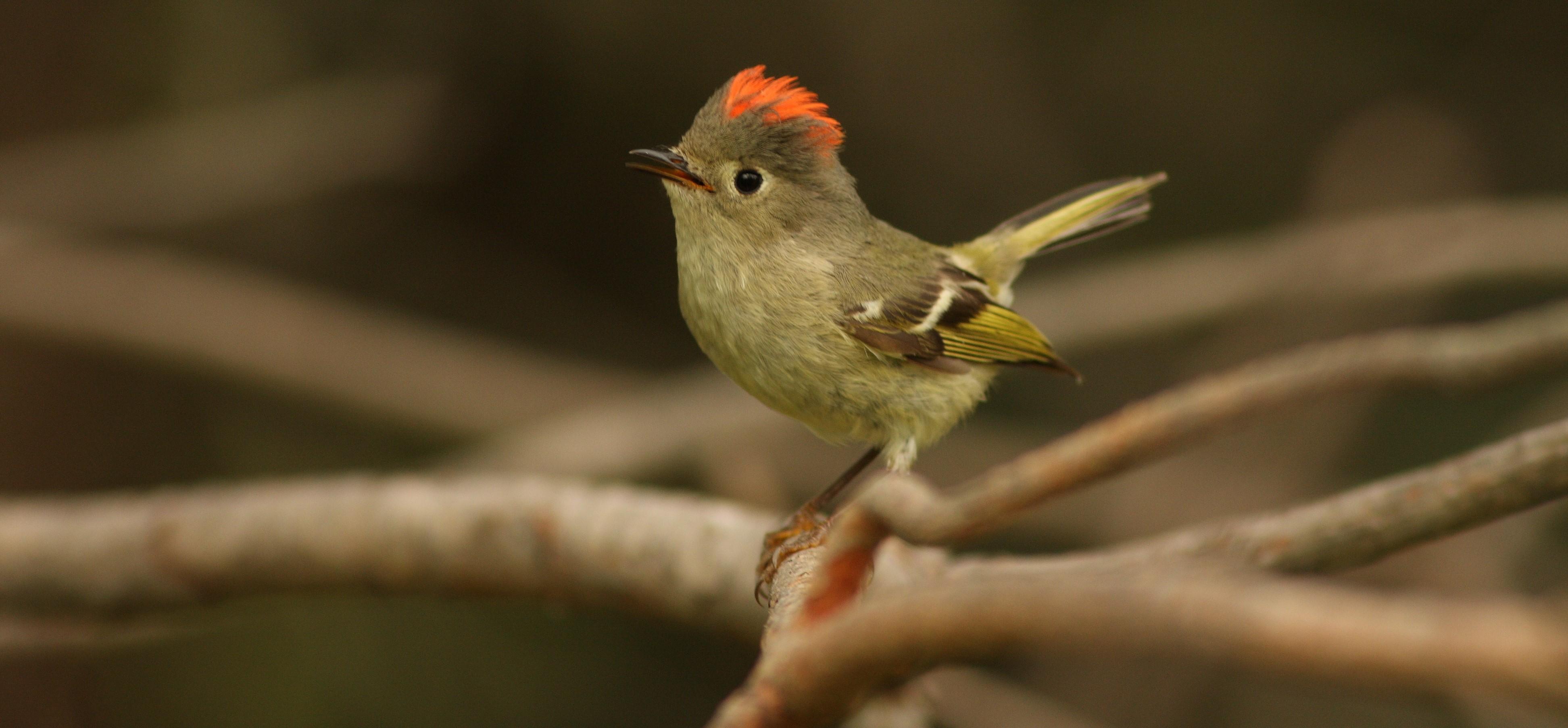
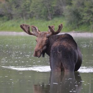
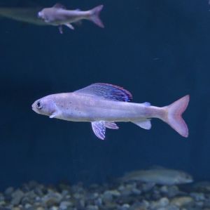
Highlights about species of management interest include:
 Monica Dahl
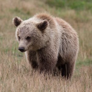
Moose density was 0.29 individuals/km2 in the Southern Operating Area. Much of the region provides suitable habitat for moose.

In Woodland Caribou range, tracking vegetation regrowth using remote sensing tools is an area of active research.
 S Shankar
Arctic Grayling populations are either extirpated or in very low abundance in 85% of the Southern Operating Area, which is toward the southern end of their range in Alberta.
 A von Dueren
There are 69 species of conservation concern in the Southern Operating Area including 12 federally and/or provincially listed species.
31 non-native vascular plant species were detected across the sampled sites with non-native vascular plants present at 52% of the locations.
Next Steps
Responsible forest management requires a clear understanding of how forestry operations impact land cover and biodiversity; monitoring can help identify opportunities for improvement.
Results from this report set the stage for openly addressing key questions such as:
- What components of biodiversity are the most sensitive to forestry activities, and what might be done to minimize impacts?
- What are the cumulative effects of resource development on biodiversity and how effective are efforts to manage regional cumulative effects?
- What is the impact of forestry on biodiversity as compared to other land uses, such as energy?
Overall, the land cover and biodiversity results presented in this report establish current conditions, and in some instances trend, that can be used to evaluate forest management objectives.
With Tolko's Southern Operating Area at least 90% intact today, there is significant opportunity for land managers to make informed and deliberate choices to maintain or increase biodiversity intactness over time. As development continues to unfold in the region, the ABMI will continue to measure and report on the changing state of land cover and biodiversity.
