Status of Human Footprint and Native Vegetation
Summary of the status of human footprint and native vegetation in Tolko's Southern Operating Area, circa 2021.

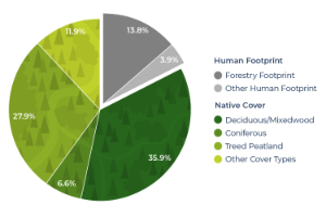
Total human footprint
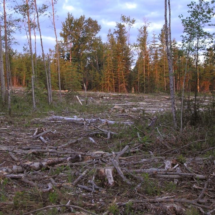
- Of this total, the forestry footprint was 13.8%, decreasing to 9.4% when accounting for the regeneration of harvested stands.
- Energy (2.4%) was the next most common human footprint type, while the remaining footprint types covered 1.4% of the region combined.
Undisturbed Native Vegetation
- Undisturbed upland stand types, where forest harvest takes place, cover 42.5% of the land base.
- This includes deciduous (26.2%), mixedwood (9.7%), pine (3.4%), and White Spruce (3.2%).
Introduction
The extent of human land use in a given area is collectively defined as human footprint.
-
The expansion of human footprint and the disturbance of native ecosystems is one of the key threats to biodiversity[1]. Responsible development depends on understanding the complex interactions between human activities, habitats, and species.
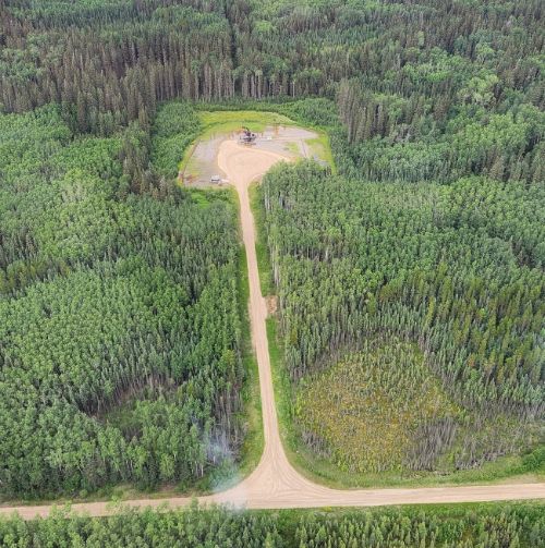
- In Tolko’s Southern Operating Area, where Tolko harvests deciduous trees, the main human footprint impacts are from forestry and energy. Transportation footprint is also common across the landscape, providing access for industrial development activities and also outdoor recreational activities like hunting, fishing, and camping.
- Measuring human footprint—such as forest harvest areas, well sites, roads, and seismic lines—is an important land use planning tool to monitor the status of landscapes.
- Further, understanding how human land use is affecting different ecosystems is important to support sustainable, evidence-based land-use decisions.
In this section, we summarize the current human footprint and native vegetation in Tolko’s Southern Operating Area.
Forestry footprint is the most common footprint in the Southern Operating Area.
Energy footprint (e.g., well sites, seismic lines, and pipelines) is the second most common footprint type.
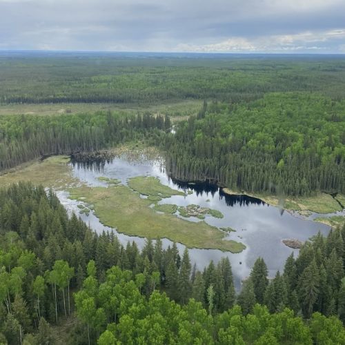
Large areas of the Southern Operating Area remain undisturbed.
Results
Status of Human Footprint
The total human footprint in the Southern Operating Area was:
Highlights
- Forestry was the largest human footprint in Tolko’s Southern Operating Area, covering 13.8% of the region; forestry footprint is 9.4% when ecological recovery of harvested areas is considered.
- After forestry, energy was the next most common human footprint, covering 2.4% of the Southern Operating Area.
- The remaining human footprint types each covered less than 1% of the region, including: transportation (0.9%), agriculture (0.2%), urban/industrial (0.2%), and human-created waterbodies (0.1%).
Forestry footprint covers the largest area, followed by energy footprint.
View as Graph
View as Table
Status of Human Footprint. Summary of per cent (%) area of human footprint broken down by category for Tolko’s Southern Operating Area. Total human footprint includes all categories other than Forestry, Net. Hover over the bar or legend (in graph view) to view the per cent area of each footprint type.
Results
Status of Native Vegetation
- In the Southern Operating Area, 42.5% of the land base is covered by undisturbed upland forest types: deciduous (26.2%), mixedwood (9.7%), pine (3.4%), and White Spruce (3.2%).
- Undisturbed lowland forest types—including Black Spruce (18.3%) and treed fen (9.6%)—cover over 25% of the Southern Operating area.
- Non-forested vegetation (6.7%) and open water (5.2%) cover smaller areas.
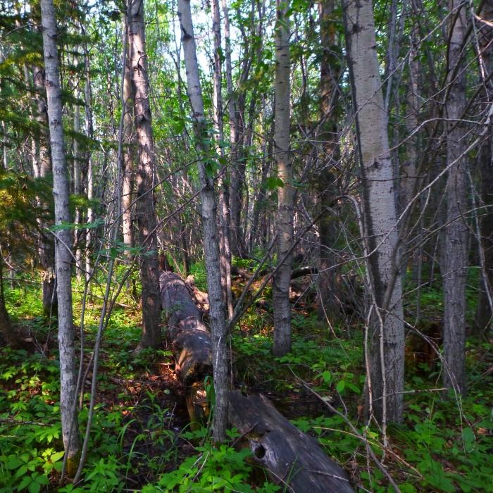
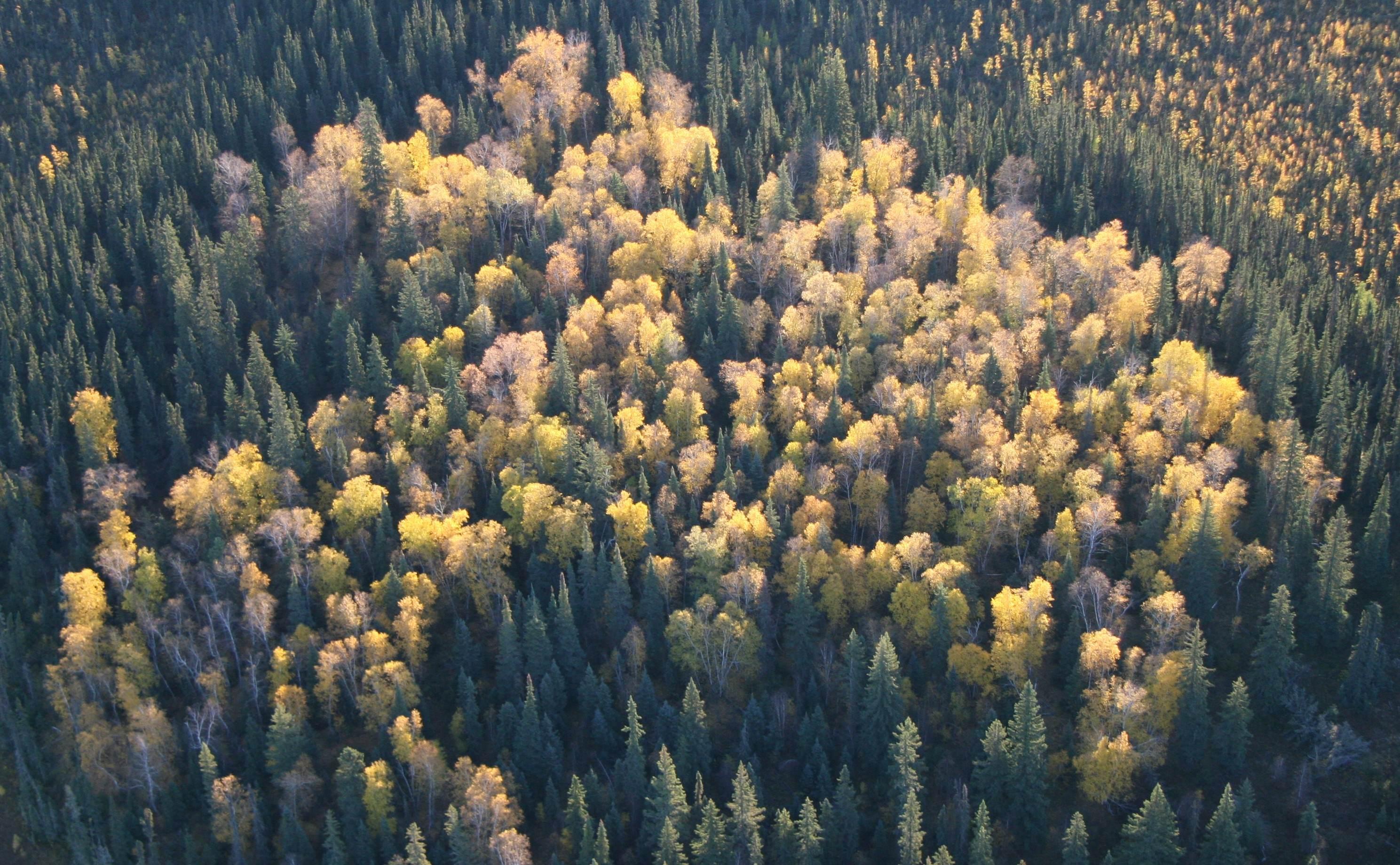
Tolko harvests deciduous trees in the Southern Operating Area.
View as Graph
View as Table
Status of Vegetation Types. Per cent area, circa 2021, of vegetation types in Tolko’s Southern Operating Area. Hover over the bar or legend (in graph view) to view the per cent area of each vegetation type.
References
Sanderson, E.W., M. Jaiteh, M.A. Levy, K.H. Redford, A.V. Wannebo, and G. Wolmer. 2002. The human footprint and the last of the wild. Bioscience 52(10):891-904.
